See exactly where property lines fall on the ground using augmented reality on your iPhone.
Download ParcelVisionRocky Mountain properties span dramatic elevation changes, from valley floors to mountain ridges, where boundary surveys are expensive and physical markers rarely survive harsh winters. Hunting, ranching, and recreational land all share boundaries that are tough to locate in rugged terrain without professional equipment — until now.
Montana's massive ranches and mountain properties make it one of the most challenging states for on-the-ground boundary identification.
ParcelVision lets you see property boundary lines in Lewis and Clark County right on the ground using your iPhone's camera and augmented reality. Point your phone, and the boundary lines appear in real space — across mountain meadows, high desert, and alpine forests.
Population
Land Area
Get ParcelVision free from the App Store.
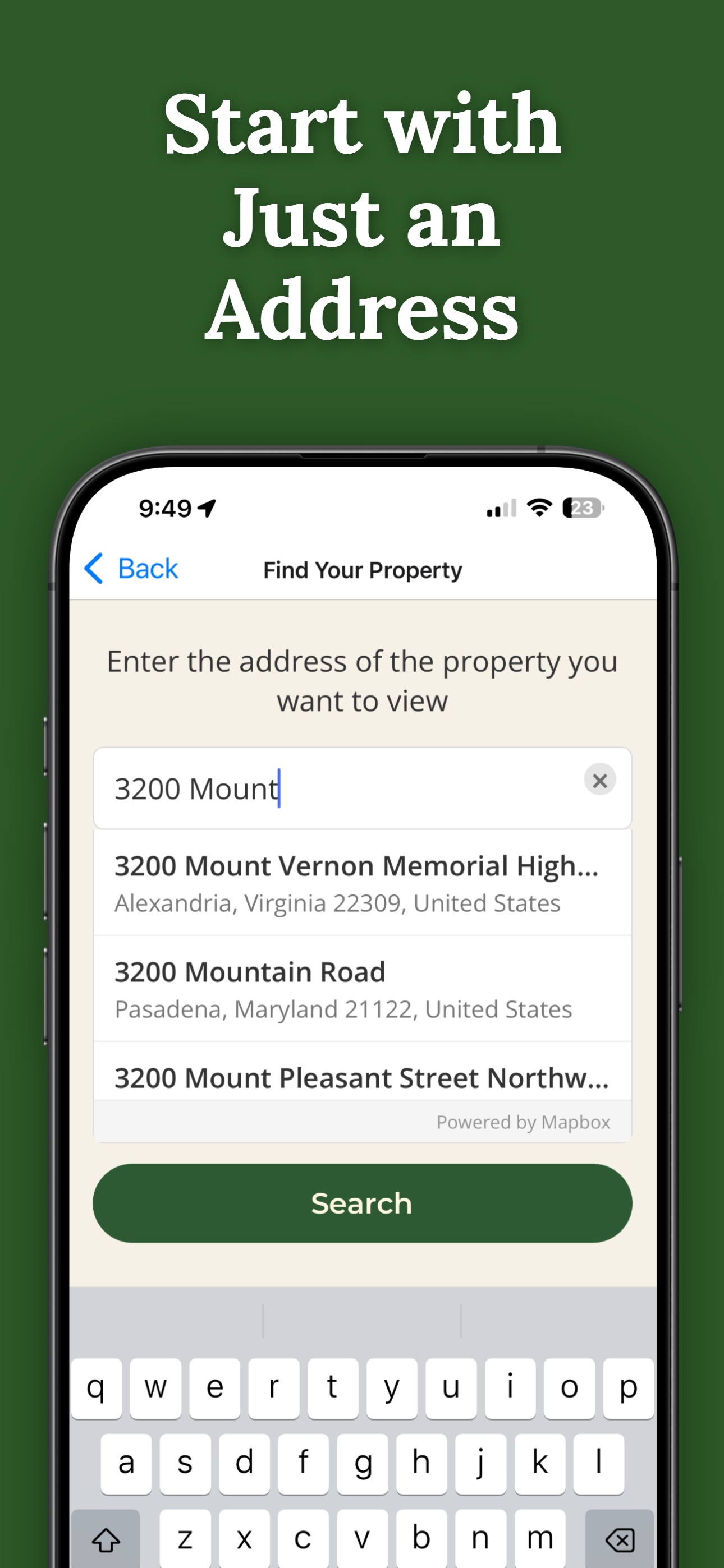
Search for any address in Lewis and Clark County and purchase access for $14.99.
Point your iPhone camera and see property lines overlaid on the real world.
See boundary lines on ridges, in valleys, and across alpine meadows.
Know exactly where private and public land boundaries fall in the backcountry.
Share property access with hunting partners at no extra cost.
Pay once per parcel. No subscriptions, no recurring fees.

ParcelVision uses official county parcel data and GPS to overlay boundary lines in augmented reality. While not a replacement for a professional survey, it gives you a reliable visual reference accurate to within a few feet.
Yes. ParcelVision works at any elevation. The AR visualization uses your phone's GPS and sensors, which function normally in mountain environments.
Yes. Once you purchase a property card, share it with your entire hunting party for free. No one else needs to pay or create an account.
ParcelVision costs $14.99 per property. This is a one-time purchase — no subscriptions or recurring fees. You can share access with anyone for free.
ParcelVision is currently available for iPhone. An Android version is coming soon — you can sign up for notification at parcelvision.app.
Download ParcelVision and see property lines in Lewis and Clark County on the ground.
Download ParcelVision ParcelVision