See exactly where property lines fall on the ground using augmented reality on your iPhone.
Download ParcelVisionDesert Southwest properties cover vast stretches of arid terrain where boundary markers are sparse and the landscape can look the same for miles in every direction. Water rights, mineral claims, and development parcels all depend on precise boundaries that are nearly impossible to identify on flat, featureless desert ground.
New Mexico property boundaries cross desert mesas, mountain forests, and ancient land grants with complex ownership histories.
ParcelVision lets you see property boundary lines in Otero County right on the ground using your iPhone's camera and augmented reality. Point your phone, and the boundary lines appear in real space — across desert terrain, mesas, and arid valleys.
Population
Land Area
Get ParcelVision free from the App Store.
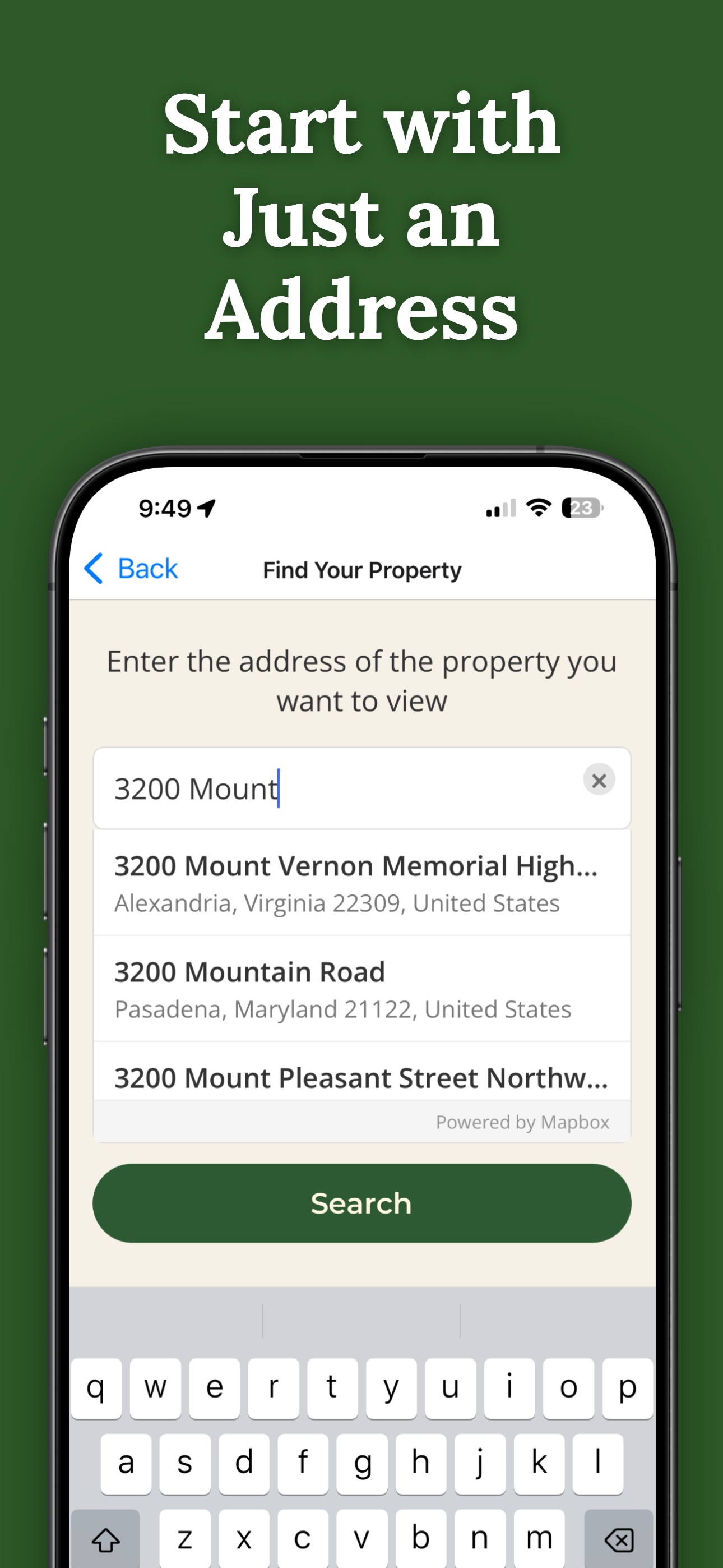
Search for any address in Otero County and purchase access for $14.99.
Point your iPhone camera and see property lines overlaid on the real world.
No trees, no fences, no markers? AR shows your boundaries on open desert.
Desert land values are rising. Know exactly what you own before buying or selling.
Send free access to your real estate agent or buyer.
Pay once per parcel. No subscriptions, no recurring fees.

ParcelVision uses official county parcel data and GPS to overlay boundary lines in augmented reality. While not a replacement for a professional survey, it gives you a reliable visual reference accurate to within a few feet.
Yes. ParcelVision is especially useful in desert environments where there are no natural landmarks. The AR boundary lines give you a clear visual reference in open terrain.
Yes. Once you purchase a property card, you can share it with anyone for free — your agent, buyers, family, or neighbors. No one else needs to pay.
ParcelVision costs $14.99 per property. This is a one-time purchase — no subscriptions or recurring fees. You can share access with anyone for free.
ParcelVision is currently available for iPhone. An Android version is coming soon — you can sign up for notification at parcelvision.app.
Download ParcelVision and see property lines in Otero County on the ground.
Download ParcelVision ParcelVision