From county records to augmented reality — here are 5 ways to find exactly where your property boundaries are in New Mexico.
Download ParcelVision — $14.99/PropertyNew Mexico's property boundaries include some of the most complex land title situations in the US, with Spanish colonial land grants, pueblo land, tribal trust land, and federal land all creating overlapping boundary systems.
New Mexico's 33 counties maintain property records through the county assessor's office. Historical Spanish and Mexican land grants create uniquely complex ownership situations.
New Mexico has 33 counties, and many offer online GIS or parcel viewer tools where you can look up property boundaries by address or parcel number. Start with your county assessor or recorder's office website.
The accuracy and availability of online records varies by county. Some provide detailed interactive maps, while others may require an in-person visit to the county office.
Your property deed contains a legal description of your land, including metes and bounds measurements or lot and block references. You can find your deed at the county recorder's office or through your title company.
While the deed defines your legal boundaries, interpreting the description on the actual ground can be difficult without surveying knowledge or equipment.
Section corners, brass caps, and rebar. Ancient Spanish land grants add complexity. Desert mesas and arroyos serve as natural boundary references.
A professional land survey in New Mexico typically costs between $350 and $800, depending on parcel size, terrain, and complexity. A licensed surveyor will physically mark your boundary corners with stakes or monuments.
New Mexico requires surveyors to be licensed by the Board of Licensure for Professional Engineers and Professional Surveyors.
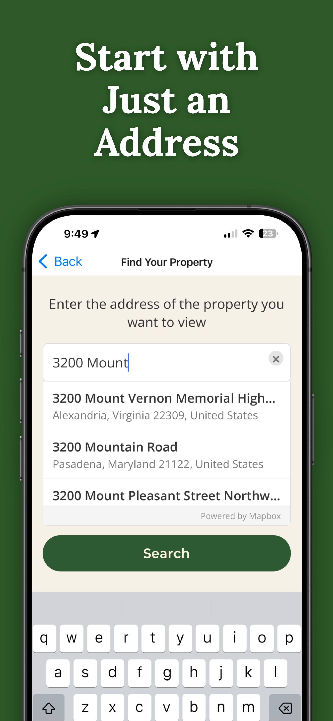
ParcelVision uses augmented reality to show property boundary lines right on the ground through your iPhone camera. Just search an address, unlock the property for $14.99, and walk the lines in real time.
Unlike a survey that takes weeks to schedule, ParcelVision gives you instant results — and you can share access with anyone for free. It's ideal for getting a quick visual understanding of where your property lines are before committing to a full survey.
While ParcelVision is great for visualizing property lines on the ground, there are situations where a licensed land survey is the right call. A professional survey provides a legally binding document and precise measurements that hold up in court.
For everything else — walking your land, understanding your boundaries before buying, checking a fence line, or showing a hunting group the property edges — ParcelVision gives you the answer in minutes for $14.99.

A property boundary survey in New Mexico typically costs between $350 and $800, depending on property size, terrain, and location. Complex properties or those in remote areas may cost more.
You can find property lines in New Mexico by checking county records online, reviewing your property deed or plat, looking for physical survey markers, hiring a licensed surveyor, or using ParcelVision's AR app to see boundaries on the ground in real time.
Yes. ParcelVision uses your iPhone's camera and augmented reality to show property boundary lines on the ground in New Mexico. It costs $14.99 per property with no subscription required.
ParcelVision uses official county parcel data and GPS to show boundary lines accurate to within a few feet. While it's not a replacement for a legally binding professional survey, it's an excellent visual reference for understanding where your property lines fall.
Yes. Once you purchase a property card, you can share it with anyone for free — family, neighbors, your real estate agent, or hunting partners. No one else needs to pay or create an account.
Download ParcelVision, search any address, and see boundary lines on the ground in minutes.
Download ParcelVision ParcelVision