A simple way to visualize parcel boundaries without complex GIS tools.
Visualize Boundaries Instantly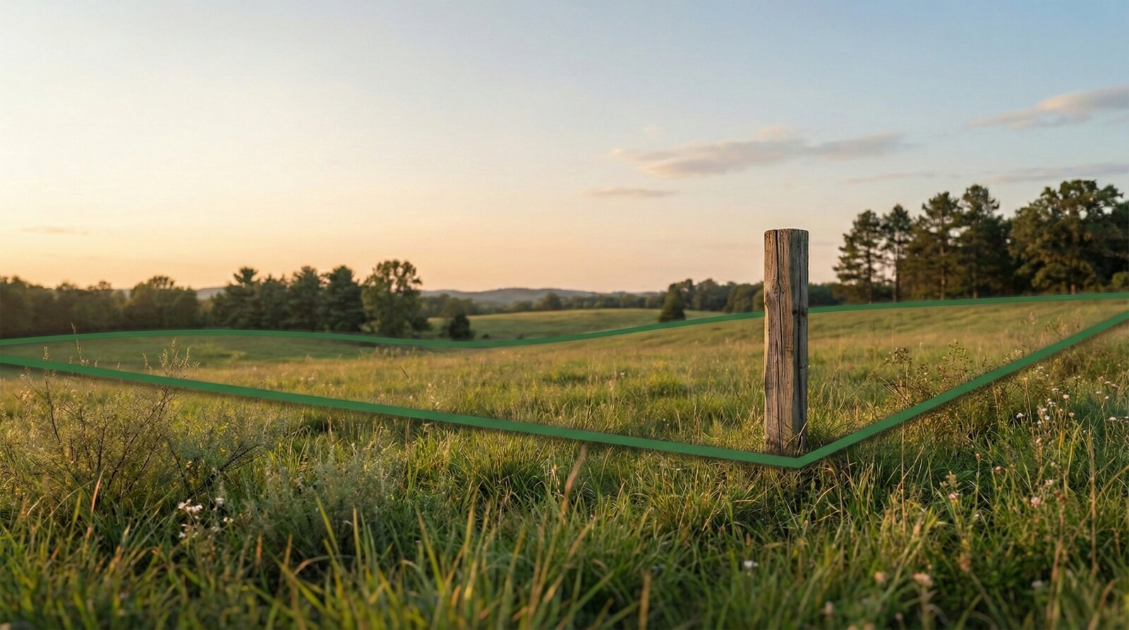
Complex software that takes weeks to learn.
Rugged conditions and no connectivity.
Explaining boundaries without visual aids is difficult.
Download from the App Store.
Purchase access for $14.99 per parcel.
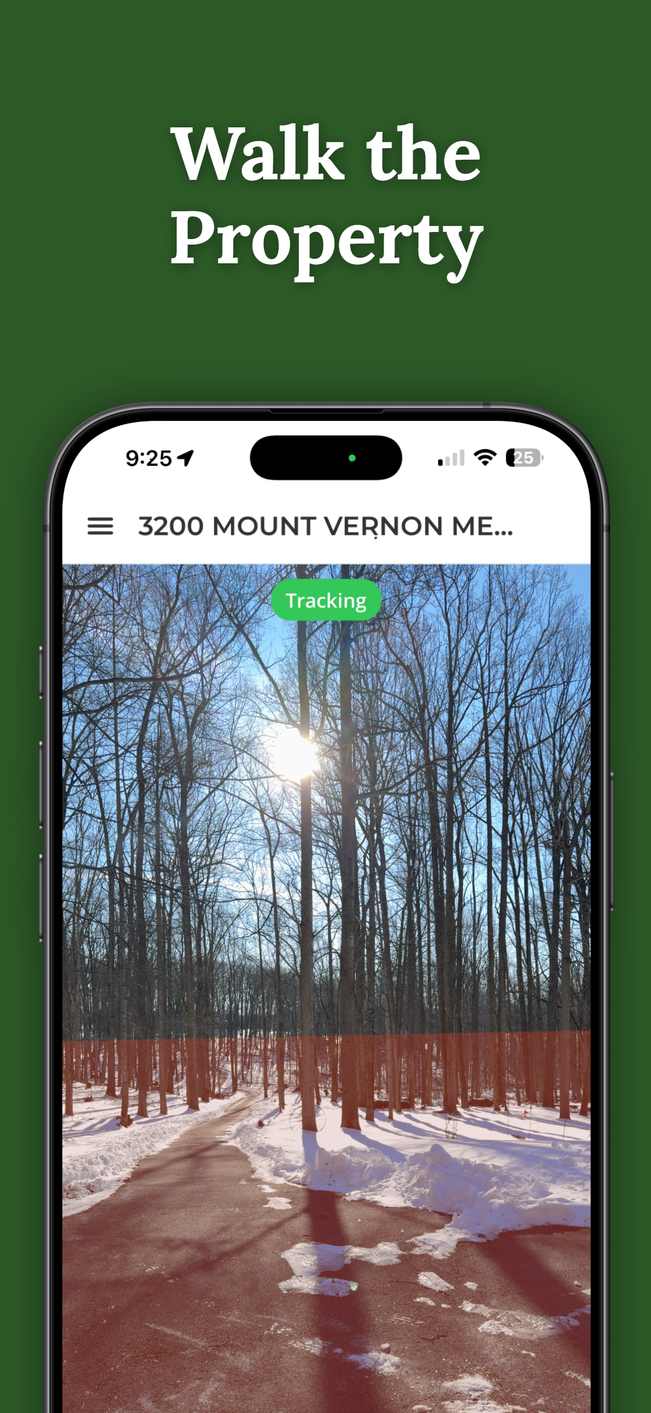
Walk the boundaries with AR visualization and share with crew.
Understand property lines in minutes, not hours.
No training required. Point and see.
Pay once per property. No subscriptions.
Send access to contractors and crew instantly.

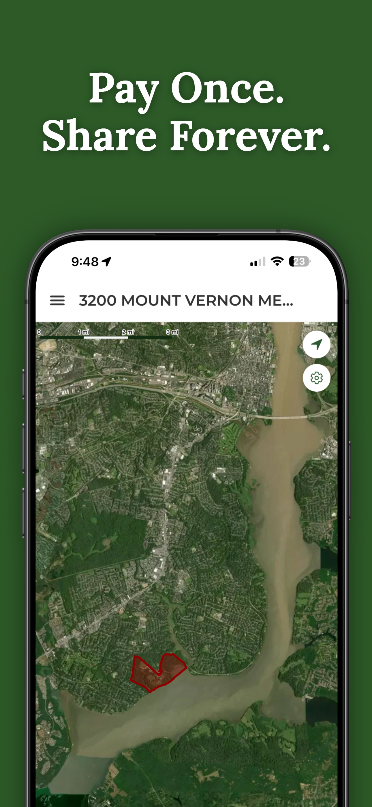
Once you unlock a property, share access with contractors, consultants, and crew members for free. Everyone sees the same boundaries.
Mark harvest boundaries clearly for logging crews.
Show clients property boundaries during site visits.
Orient field teams without complex mapping tools.
30 seconds on an actual property — no demo, no animation.
Download ParcelVision and get your team oriented fast.
Visualize Boundaries Instantly ParcelVision