Walk your land and see parcel boundaries overlaid in the real world using AR.
View Your Property Lines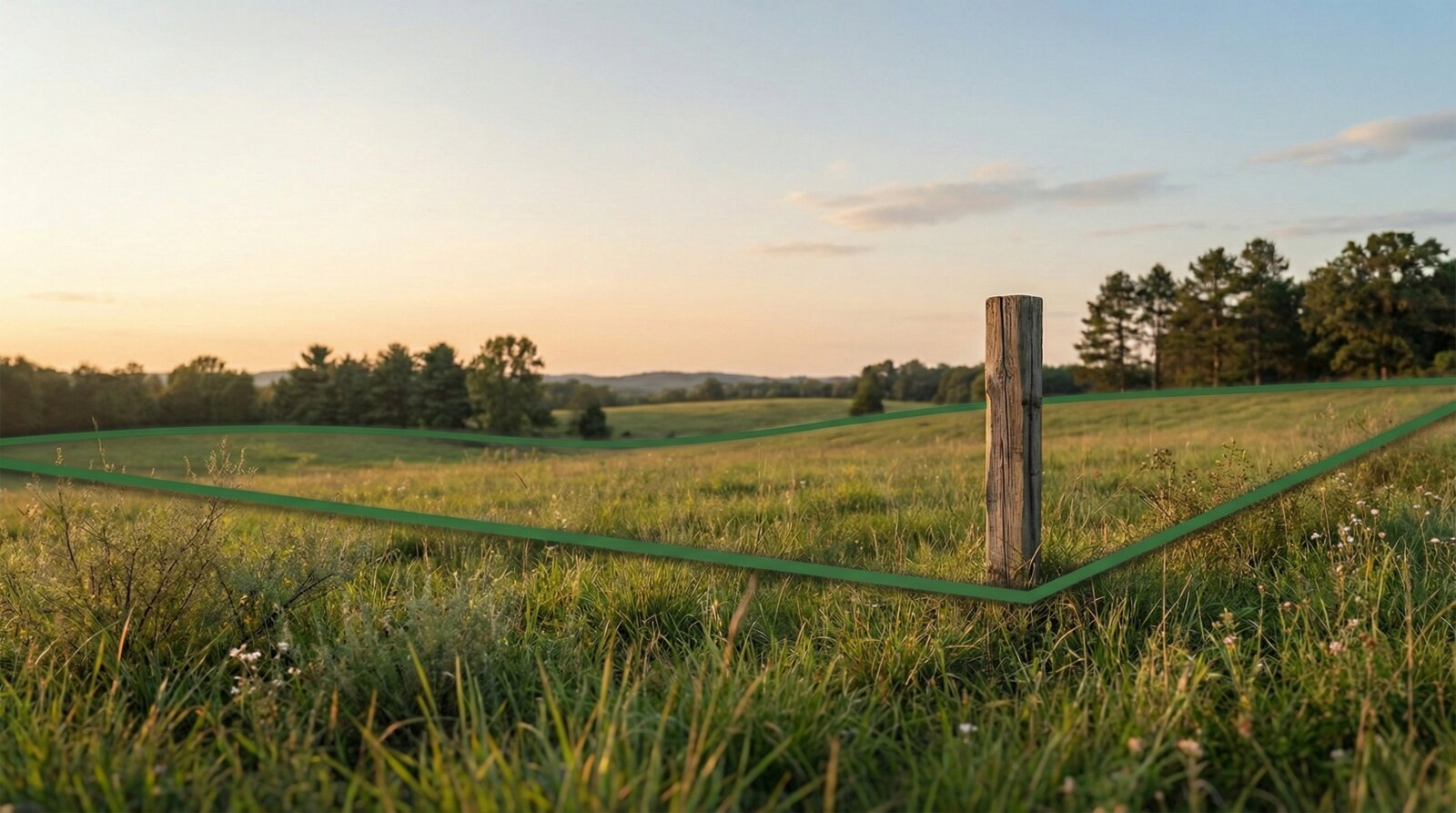
Professional surveys cost hundreds or thousands of dollars.
County maps are hard to interpret in the field.
Fences, trees, and markers don't always match the deed.
Download from the App Store.
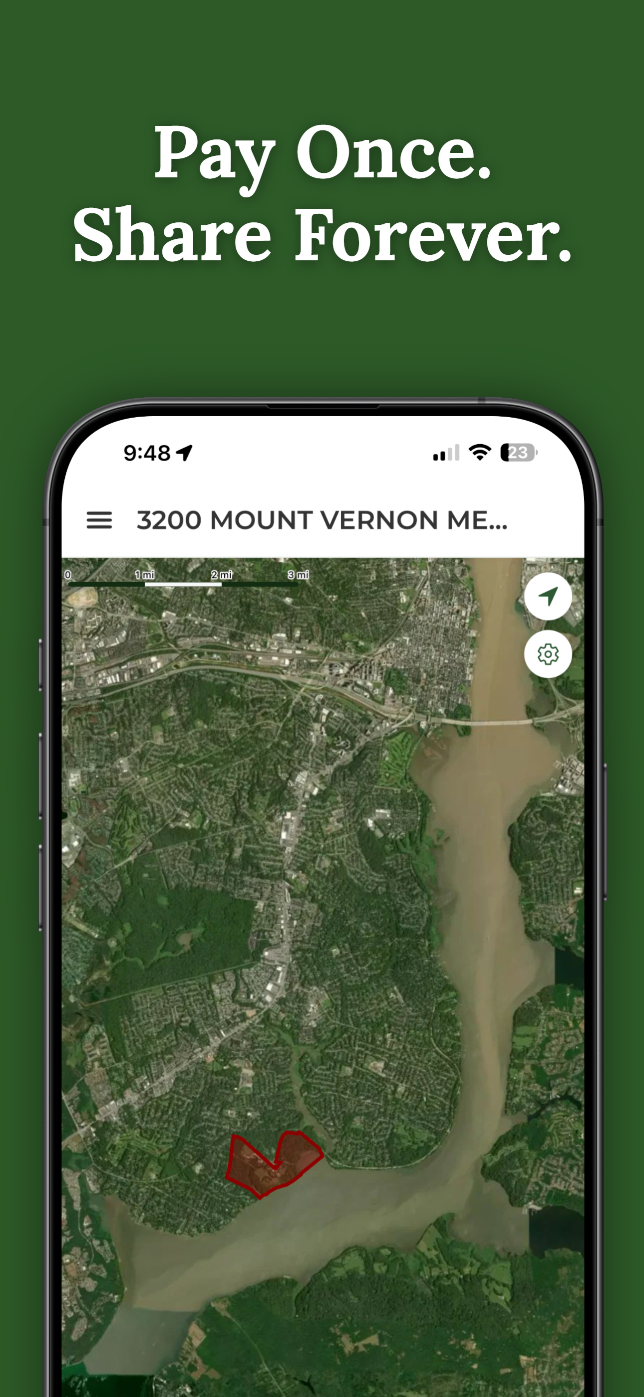
Unlock your property for a one-time $14.99 purchase.
See boundary lines overlaid in AR as you explore your property.
View property lines on-site, right where you stand.
Great for fences, access roads, timber, and planning.
Pay $14.99 per property. No subscriptions.
Send access to family, neighbors, or contractors at no cost.

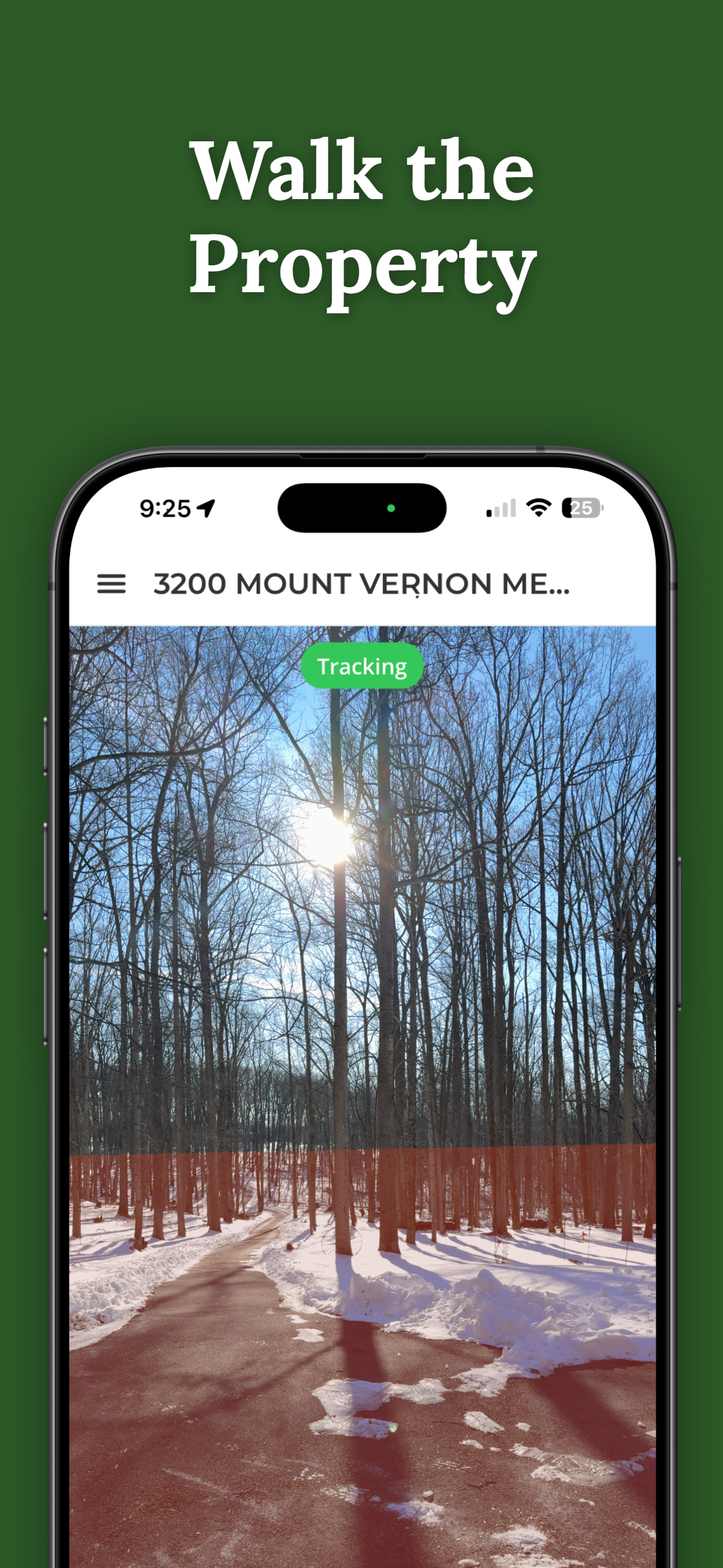
30 seconds on an actual property — no demo, no animation.
Unlock a property and share access with family, neighbors, or contractors — for free. Shared users never pay. No accounts required.
Download ParcelVision and walk your land with confidence.
View Your Property LinesAvailable on iPhone
 ParcelVision