ParcelVision
How Much Does a Land Survey Cost?
A boundary survey for a standard residential lot usually runs $300 to $800. Bigger or rougher properties can hit $1,000 to $3,000+, depending on lot size, terrain, where you live, and the type of survey.
The short answer is: more than you want to pay, but less than the problems you'll have without one. Survey costs swing pretty widely, so here's what actually drives the number up or down.
Cost by Survey Type
There are several kinds of land surveys, and they're not all priced the same:
| Survey Type | Typical Cost | Common Use |
|---|---|---|
| Boundary Survey | $300 - $800 | Establishing or confirming property lines |
| Mortgage / Location Survey | $250 - $600 | Showing improvements relative to boundaries (for lenders) |
| Topographic Survey | $500 - $1,500 | Mapping elevation and terrain features for construction |
| ALTA/NSPS Survey | $1,500 - $3,000+ | Commercial transactions, title insurance requirements |
| Subdivision Survey | $1,000 - $5,000+ | Dividing a parcel into multiple lots |
A boundary survey is what most homeowners need — it finds and marks the corners of your lot. A mortgage/location survey is a lighter version that some lenders require at closing; it shows where buildings sit relative to the lines but may not set new pins.
Topographic surveys map elevation and terrain features. You'll need one if you're doing new construction, grading, or drainage work. ALTA/NSPS surveys are the big ones — strict national standards, usually required for commercial deals or extended title insurance. Expect to pay accordingly.
What Drives the Price Up
Two boundary surveys in different places can cost wildly different amounts. Here's why:
- Property size: Surveying a quarter-acre subdivision lot is a few hours of work. A 20-acre rural parcel is a full day or more.
- Terrain and access: Thick woods, steep hills, swamps, no road access — all of this means more time, more crew, more money.
- Where you live: Survey rates are higher in expensive metros. But rural areas can cost more too, since there are fewer surveyors and they're driving farther.
- Messy records: If your deed has a vague or conflicting description, the surveyor has to spend extra hours in the office researching before they even show up.
- Missing pins: If the old survey markers are still in the ground and easy to find, the job goes faster. If they're gone, the surveyor has to re-establish them from scratch.
- Lot shape: A simple rectangle has 4 corners. An irregular lot might have 8 or 10. Every corner adds time.
Getting a Quote
When you call, have this ready:
- Your address and parcel number (on your tax bill or county assessor site)
- Approximate acreage or lot size
- Why you need the survey (fence, building permit, sale, dispute)
- Whether you have an old survey or plat map
- Any access issues — locked gates, rough terrain, long driveway
Get quotes from two or three licensed surveyors. Most can give you a number over the phone once they pull up your parcel. And be skeptical of the cheapest quote — a surveyor who cuts corners on research can produce a survey that causes more problems than it solves.
When You Really Need One
- Building permits: Many municipalities won't issue one without a current survey, especially if you're building near the property line.
- Boundary disputes: A survey is the only evidence that holds up in court.
- Buying or selling: Lenders and title companies often require a survey for closing.
- Subdividing land: Always requires a licensed survey and a new plat.
- Fence projects: Not always legally required, but a survey now is cheaper than a lawsuit later. More on that in our fence survey guide.
Cheaper Alternatives for a Quick Check
If you just want a rough idea of where your lines are — not a legal document — you don't necessarily need to hire a surveyor. Your county's GIS website will show parcel lines over satellite imagery for free. A metal detector can help you find old survey pins. And property line apps can give you a visual reference when you're walking the land.
None of these replace a real survey, but they're fine for everyday stuff: figuring out where to put a garden, checking how close your neighbor's shed is to the line, or deciding if a full survey is even worth it. See our full guide on finding property lines without a survey.
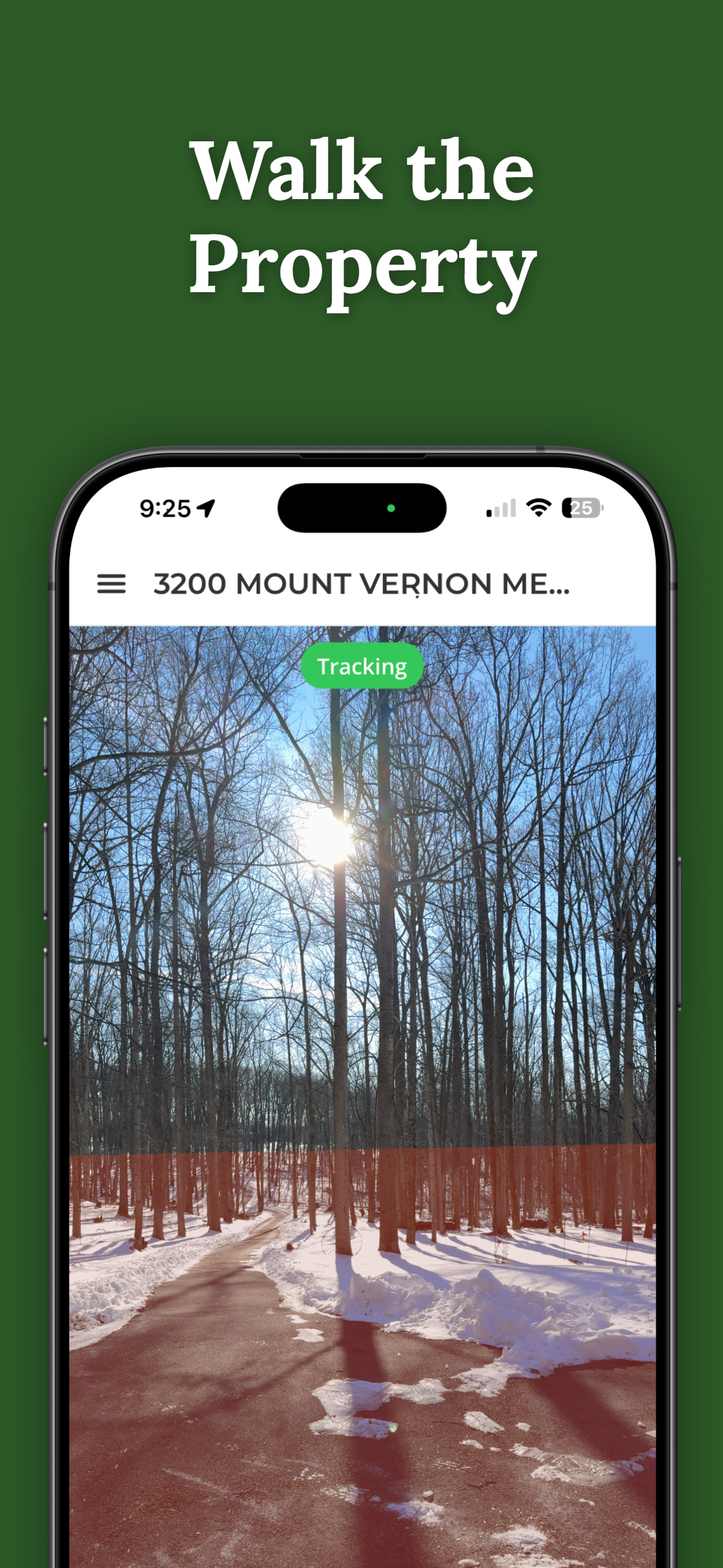
How ParcelVision Helps
Before you spend hundreds on a survey, try ParcelVision. It shows property boundaries in AR on your iPhone — just point your camera at the land. At $14.99 per property, it's a fast way to see where your lines are and decide if you need the full survey.
Download on the App StoreThis article is for informational purposes only and isn't legal advice. Survey costs vary by region and provider — contact a licensed surveyor in your area for an accurate quote.